
Snow Time Machine

Federal Heights, CO

Remarkable storms and the local record, winter by winter.

Choose a city archive
Snow Time Machine

Explore a winter

Pick a winter to see the snow that fell, from the first flakes to the last storm.

Search more storms by state, decade and type →
When the first flakes arrivedWheat Ridge 2 · verified first-snow reporting dates

Earlier · Sep 9Later · Nov 29

Higher dots mean an earlier arrival in this sample. Swipe or use the arrows, then choose a year.

Nearby observation · winter 2013–14

The wait ended on Sep 10.

First measurable snow at Wheat Ridge 2.

0.79inchesNew snowfall on the first reporting day · not a whole-storm total

25 days earlier than the preceding winter at this reference.
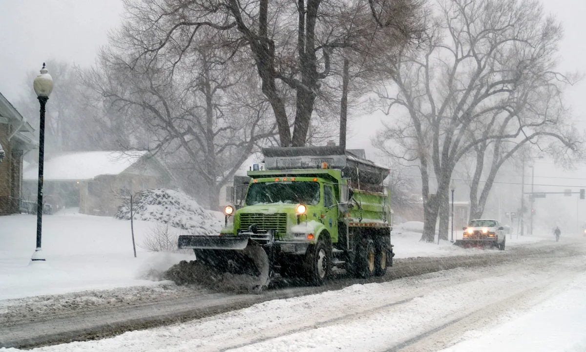
Historical atmosphere: Denver, Colorado, December 20, 2006. Illustrative, not this first-snow event.
Historical atmosphere · illustrative. Denver, Colorado · December 20, 2006. This authentic archival photograph does not show the selected first snowfall. Michael Rieger / FEMA · Public domain · U.S. federal work. Resized and converted to WebP; no content alteration.
Two winters. One reference.
2012–13
Oct 5
2013–14
Sep 10
Bar length is days after July 1. Each date belongs to the named reference.
Sources & record details

Wheat Ridge 2 · USC00058995 · 13 km from the place point. Reporting dates are not exact snowfall onset times.

Only fully observed July–June seasons are included. At least 0.1 inch counts as measurable; missing days exclude a season and traces remain non-measurable.

Single GHCN station ID. Site and observing practices can change; this is not a homogenized city composite. Retrieved 2026-11-04. 21 incomplete seasons excluded.

NOAA / official historical source ↗
The station record

Daily snowfall reports · 2013–14

Wheat Ridge 2 · nearby station, 13 km away

Opening station records…

Same winter. Another place.
Compare with another winter
Discover the earliest & latest arrivals

Among the 24 snowy complete seasons at Wheat Ridge 2.

Every complete season (24) Wheat Ridge 2 · 1997–2026
First measurable snowfall at Wheat Ridge 2; separate from the site's reviewed typical-date and guessing sample.
WinterReporting dateFirst-day snowfall
2025–262025-11-290.39 inches
2024–252024-11-041.1 inches
2023–242023-10-295.98 inches
2022–232022-11-042.28 inches
2021–222021-11-250.59 inches
2020–212020-09-092.99 inches
2019–202019-10-100.12 inches
2018–192018-10-100.12 inches
2017–182017-10-091.81 inches
2016–172016-11-183.5 inches
2015–162015-11-050.59 inches
2014–152014-11-111.1 inches
2013–142013-09-100.79 inches
2012–132012-10-050.71 inches
2011–122011-10-264.49 inches
2008–092008-11-140.59 inches
2007–082007-10-210.12 inches
2006–072006-10-185 inches
2005–062005-10-102.09 inches
2004–052004-11-012.91 inches
2001–022001-10-050.2 inches
1999–001999-09-283.11 inches
1998–991998-11-074.21 inches
1997–981997-10-121.5 inches
Original historical source ↗

Single-station record; observation sites and practices may change. Source SHA256: 97a50acbe1a2519c325f2d41802638308c22d73aac000fd2fbacc5291a730456.