Lake-effect snow · Winter history
Feet of snow. A few miles away, only inches.
· Buffalo Southtowns and western New York
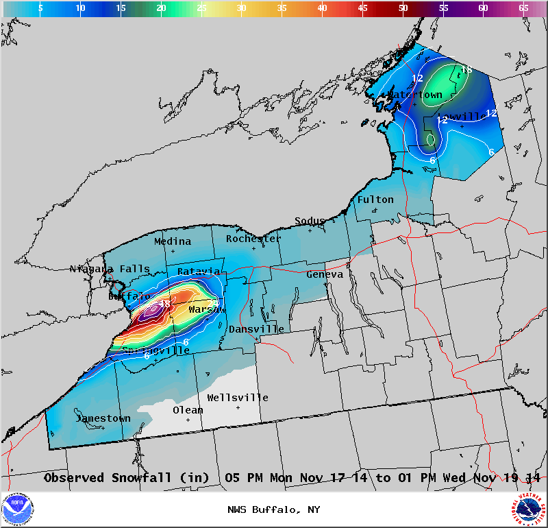
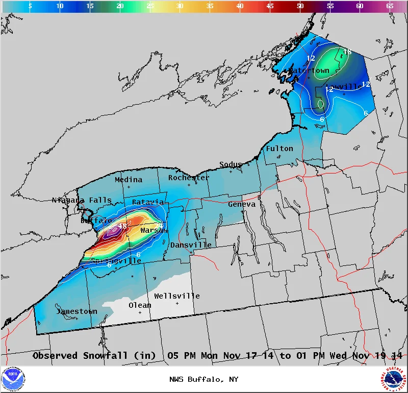
65 inches Reported at South Cheektowaga, Nov. 17–19, during the first lake-effect episode
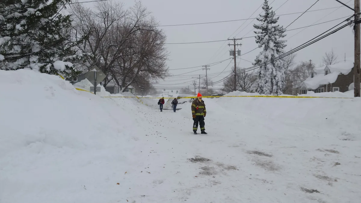
Cold air crossing Lake Erie fed a narrow band of snow east and south of Buffalo. South Cheektowaga reported the heaviest total in the first episode. Only a few miles to the north, some communities got just inches.
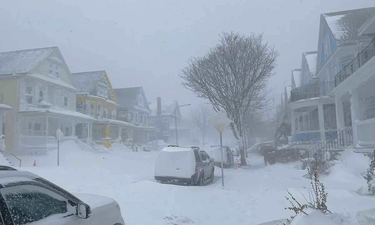
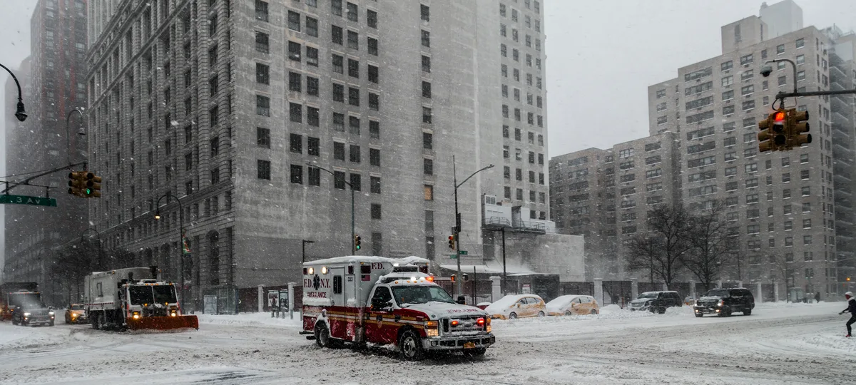
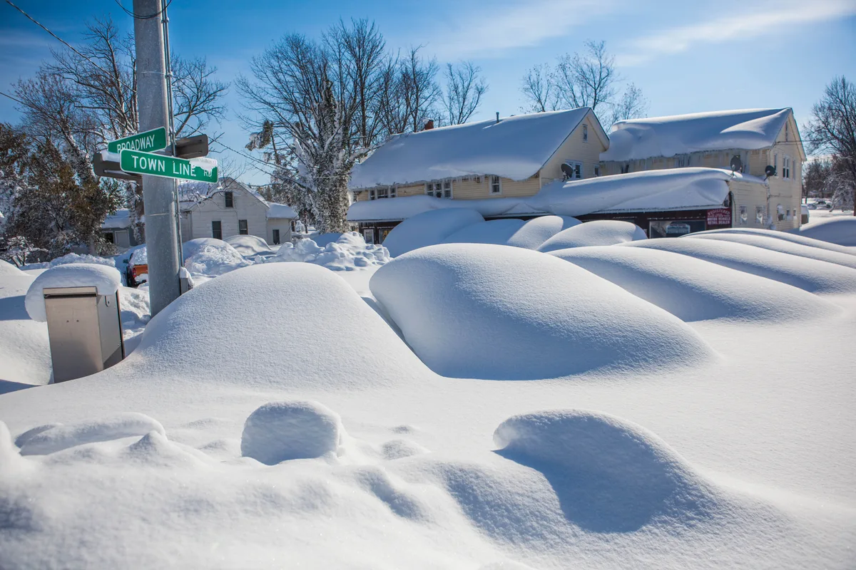
A second lake-effect episode brought more snow to much of the same area. The street photos show the aftermath of the broader event, and the NWS map isolates snowfall from the first episode.
More archival images (2)
Where it hit
- South Cheektowaga · The first episode produced a 65-inch report in South Cheektowaga.
- West Seneca · The first band affected the corridor east and south of Buffalo. The archival photograph shows the West Seneca aftermath.
Sources & verification
- Lake effect summary, November 17–19, 2014 · NWS Buffalo
- 2014–15 lake-effect season archive · NWS Buffalo
Image credits and rights
- Harlem Road in West Seneca after the November 2014 lake-effect episodes. Staxeon / Wikimedia Commons · CC BY 4.0 · Resized and converted to WebP; no content alteration
- The aftermath in Town Line, New York, during the broader November 2014 event. Anthony Quintano / Wikimedia Commons · CC BY 2.0 · Resized and converted to WebP; no content alteration
- NWS snowfall analysis for the November 17–19 episode. NOAA / NWS Buffalo · Public domain · NOAA/NWS product · Resized and encoded as WebP. Original visual content retained.